
Grilled Cheese

ExploreLog inSign up

ESA Earth Observation

@esaearth.esa.int

47 Following7k Followers

@esa.int #EarthObservation: Taking the pulse of our planet from space.
Please see our Privacy Notice: http://esa.int/connectwithus
We share pictures and news on our planet as seen from space.

PostsRepliesMedia
@esaearth.esa.intOct 9, 2026, 8:23 AM

Namibia's biggest salt pan, spanning roughly 130 km.

In this Copernicus Sentinel-2 false-colour image of Etosha Pan, vegetation appears red and water in shades of blue.

Look closely and you'll spot red patches on the salt pan itself, suggesting vegetation is present.

www.esa.int/ESA_Multimed...

False-colour satellite image of Namibia’s Etosha Pan, showing a large pale blue salt pan surrounded by red vegetation and scattered turquoise lakes and wetlands.
@esaearth.esa.intOct 8, 2026, 1:06 PM

And there's more! Sentinel-3C's radar altimeter has also returned its first measurements of the Greenland Ice Sheet. This animation shows measurements collected between 30 September and 4 October, an early indication that the instrument is performing well.

@esaearth.esa.intOct 8, 2026, 1:06 PM

First images are in!

Just weeks after launch, Copernicus Sentinel-3C has sent back images captured by its Ocean and Land Colour Instrument, showing Central Europe, the Canadian Arctic and the Caribbean:
www.esa.int/Applications...

📷contain modified Copernicus Sentinel data (2026), processed by ESA

Satellite view of Italy, the Adriatic Sea and the Alps, showing snow-covered mountains and bands of cloud stretching across western Italy and the Mediterranean.
Satellite image of the Caribbean Sea, showing the Bahamas, Cuba and surrounding islands beneath scattered clouds, with a large swirling storm system west of the Bahamas. Satellite image of the Canadian Arctic, showing snow- and ice-covered islands, sea ice, and dark channels of open water. Thin cloud bands stretch across the frozen landscape.
@esaearth.esa.intOct 8, 2026, 7:15 AM

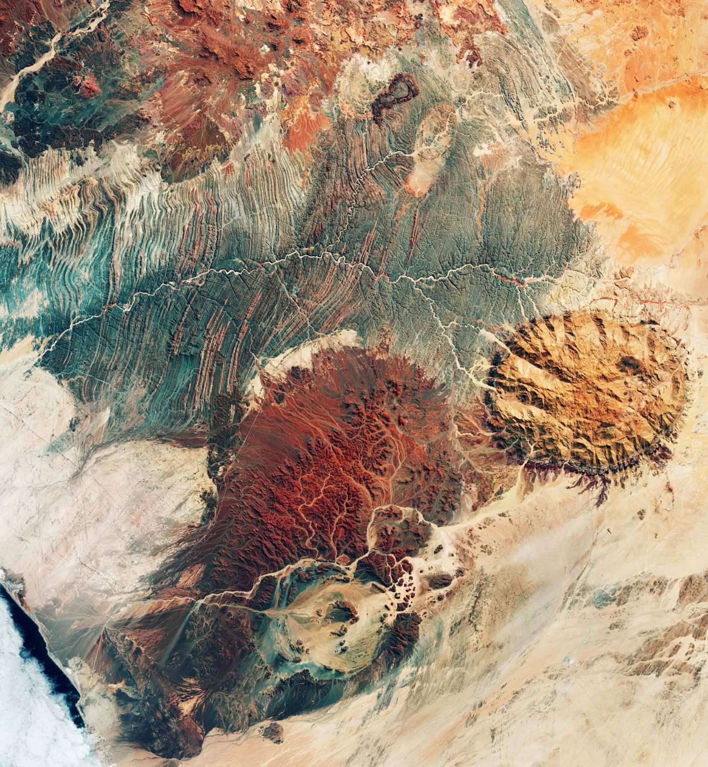
A new 'Where on Earth?' is here 🌍 Take a closer look and tell us where you think this location is.

False-color satellite image from above with the text '#WhereOnEarth?' at the top. Vivid red areas, indicating vegetation, cover most of the scene, with a patchwork of small fields in the upper left. In the lower left, a coastline borders turquoise and white shallow waters.
@esaearth.esa.intOct 7, 2026, 1:20 PM

Lakes come in more colours than blue 🔵 Green, turquoise, brown... satellite images can reveal an unexpected palette, from algae, sediment and the mixing of different waters. These Copernicus Sentinel images take us to Lake Tai in China, Lake Trasimeno in Italy and Lake St. Clair in North America.

Satellite view of Lake Tai, China, showing green algae blooms across the lake and dense urban areas surrounding the shoreline.Satellite view of Lake Trasimeno in central Italy, showing bright green water surrounded by farmland, wooded hills and scattered towns.Satellite image of Lake St. Clair between Canada and the United States, showing turquoise and green swirls in the water, surrounded by urban areas, wetlands and agricultural land.
@esaearth.esa.intOct 6, 2026, 2:56 PM

Putting DestinE data to work for climate policy ✍️

A researcher in Barcelona is using DestinE climate data to develop an AI model that estimates the potential impact of urban policies, including on land surface temperature.

Read on🔗 destination-earth.eu/news/the-mis...

@esaearth.esa.intOct 5, 2026, 10:18 AM

Mapping the world’s forests in 3D🌳

New data from @esa.int's Biomass mission measure forest canopy height from space, even in dense tropical forests.
These measurements can improve estimates of above-ground biomass and the carbon stored in trees.

Read the story🔗 earth.esa.int/eogateway/eo...

@esaearth.esa.intOct 2, 2026, 3:56 PM

It would make quite the poster! 😄

@esaearth.esa.intOct 2, 2026, 11:44 AM

Typhoon Surigae over the Philippine Sea 🌀

On 28 September, Copernicus Sentinel-1 captured this false-colour, polarised radar image of the sea beneath the storm.
Calmer seas at its eye appear dark blue, while orange and yellow show rough conditions and strong winds.

www.esa.int/ESA_Multimed...

Satellite radar image of a large hurricane seen from above, with a dark, circular eye at its center and swirling bands of gold and blue spiraling outward across the ocean surface.
@esaearth.esa.intOct 2, 2026, 7:49 AM

IRIDE’s Eaglet II constellation is complete🛰️

The final satellites reached orbit on 1 October, equipped with multispectral sensors that will capture images of Earth’s surface for applications including land monitoring, coastal observation and emergency mapping.

🔗 www.esa.int/Applications...
📸SpaceX

A white rocket with a dark band near its base climbs diagonally through a clear blue sky, trailing a bright orange-white exhaust plume.
@esaearth.esa.intOct 1, 2026, 1:55 PM

'Where on Earth': Special edition Can you name this sea?

Image with the text “#WhereOnEarth?” in large white letters at the top. The background is a colourful, in shades of orange, yellow, turquoise and blue, framed by a thin white border.
@esaearth.esa.intOct 1, 2026, 8:20 AM

EarthCARE tracked Anak Krakatau’s volcanic plume 🌋

Following the eruption on 4 September, the satellite captured the plume’s vertical structure, revealing layers of ash, gases and aerosols at different altitudes and supporting aviation safety.

More 👉 www.esa.int/Applications...

This image uses a capture from Copernicus Sentinel-3 on 5 September overlaid with data from EarthCARE’s MSI, ATLID and CPR instruments. The image also notes aircraft flight levels: most aircraft cruise around FL350, which means 35,000 ft (about 10,700 m).

Credits: ESA (contains modified Copernicus Sentinel data (2026), modified by ESA)Image showing before and after the eruption of Anak Krakatau. The “before” image is from 08 August and the “after” image is from 15 September.

Credits: contains modified Copernicus Sentinel data (2026), modified by ESA
@esaearth.esa.intSep 30, 2026, 2:42 PM

Old satellite data still have plenty to tell us🔍

@esa.int FDR4VGT project is enhancing more than 20 years of observations from SPOT-VGT and PROBA-V, creating a consistent long-term record for studying Earth’s land surface and climate.

earth.esa.int/eogateway/su...

@esaearth.esa.intSep 29, 2026, 2:28 PM

What if a lake just…disappeared?🫥 Ephemeral lakes fill after heavy rain, then disappear as the water evaporates or drains away. Despite being temporary, they can provide important habitats and breeding areas for wildlife. 🎞️contains modified Copernicus Sentinel data (2017, 2024), processed by ESA.

@esaearth.esa.intSep 28, 2026, 1:43 PM

What started as an experiment is now the world's largest SAR constellation.

Since 2018, @esa.int has worked with ICEYE to bring its radar data to users, from disaster response to maritime monitoring, through Third Party Missions and Copernicus Contributing Missions.

🔗 earth.esa.int/eogateway/su...

@esaearth.esa.intSep 25, 2026, 12:40 PM

And then there were three🛰️

ESA’s Programme Board for Earth Observation has selected ECO, Keystone and CryoRad to progress to the next phase toward Earth Explorer 12.

The three concepts would investigate Earth’s energy balance, the upper atmosphere & polar ice sheets.

🔗 www.esa.int/Applications...

@esaearth.esa.intSep 25, 2026, 11:44 AM

Can you spot the boat traffic?👀

Venice's story has always been written on water. In this IRIDE image, boat wakes criss-cross the Venetian Lagoon while shifting shades of blue reveal changing water conditions. Beyond the city, wetlands and salt marshes support wildlife.

www.esa.int/ESA_Multimed...

False-colour satellite image of Venice and its lagoon. The city appears as a pink-orange island surrounded by turquoise waters marked by boat wakes, with nearby wetlands, channels and barrier islands visible across the lagoon.
@esaearth.esa.intSep 24, 2026, 12:30 PM

Fancy a chat about Earth observation? 🤖

Ameca and Frankie are two humanoid robots that let people interact with EVE, ESA Φ-lab’s Earth Virtual Expert, simply by talking to them, helping users explore satellite imagery and more through natural conversation.

🔗 philab.esa.int/exploring-ev...

Humanoid robot displayed on a table at an indoor event or exhibition. The robot has a realistic grey face, a transparent section on the top of its head showing internal components, and a white torso, while people stand nearby in the foreground and background observing it.
@esaearth.esa.intSep 24, 2026, 11:13 AM

Trying to lure us into giving clues?🤔

@esaearth.esa.intSep 24, 2026, 10:08 AM

We appreciate the detective work 👀

Older posts
Terms of UsePrivacy PolicyCommunity StandardsHelpGet the app

Grilled Cheese is a product of Village Compute

Version devBuilt at: 2026-10-11 02:37:10 EDT