📷 Port Hardy - W — Hwy 19
📍 Port Hardy
🌦️ Light drizzle, 12°C
💨 Wind 6 km/h · 💧 83%

 @vitrafficcams.bsky.social
📷 Port Hardy - W — Hwy 19
📍 Port Hardy
🌦️ Light drizzle, 12°C
💨 Wind 6 km/h · 💧 83%
 @vitrafficcams.bsky.social
📷 Port Hardy - N — Hwy 19
📍 Port Hardy
⛅ Partly cloudy, 8°C
💨 Wind 3 km/h · 💧 97%

 @castanet.net
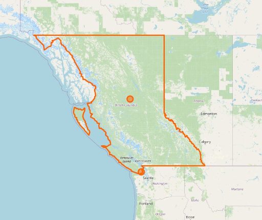
Pair of earthquakes shake off coastal B.C., no tsunami expected #PortHardy
 @eibcrepeater.bsky.social
#PortHardy #BCemerg | Earthquake | Magnitude 5.2 earthquake near Port Hardy |
 @eibcrepeater.bsky.social
#PortHardy #BCemerg | Earthquake | Magnitude 5.2 earthquake near Port Hardy |

 @bcoutagerepeater.bsky.social
#PortHardy | North-South-East of TSULQUATE , West of BA'AS RD | Out since Sep 27, 5:37 p.m. with 16 customers out | Crew status: Crew assigned | Cause: Under investigation | For more information, see the outage details:...
 @vitrafficcams.bsky.social
📷 Port Hardy - N — Hwy 19
📍 Port Hardy
⛅ Partly cloudy, 13°C
💨 Wind 22 km/h · 💧 71%
 @vitrafficcams.bsky.social
📷 Port Hardy - E — Hwy 19
📍 Port Hardy
☁️ Overcast, 11°C
💨 Wind 5 km/h · 💧 96%
 @bcoutagerepeater.bsky.social
#PortHardy | South-West of ISLAND HWY, North-East of COAL HARBOUR RD | Out since Sep 24, 7:50 a.m. with 101 customers out | Crew status: No crew assigned | Cause: Under investigation | For more information, see the outage details:...
 @bcoutagerepeater.bsky.social
#PortHardy | North of THUNDERBIRD WAY | Out since Sep 23, 10:41 p.m. with 359 customers out | Crew status: Crew on-site | Cause: Under investigation | For more information, see the outage details: https://www.bchydro.com/power-outages/app/outage-map.html#outage=2829084
 @vitrafficcams.bsky.social
📷 Port Hardy - W — Hwy 19
📍 Port Hardy
☁️ Overcast, 14°C
💨 Wind 6 km/h · 💧 76%
 @vitrafficcams.bsky.social
📷 Port Hardy - E — Hwy 19
📍 Port Hardy
☁️ Overcast, 10°C
💨 Wind 3 km/h · 💧 99%
 @bcoutagerepeater.bsky.social
#PortHardy | West of 1ST ST | Out since Sep 21, 10:16 a.m. with 10 customers out | Crew status: Crew on-site Est. Time On: Sep 21, 4:30 p.m.| Cause: Planned work being done on our equipment | For more information, see the outage details:...
 @bcoutagerepeater.bsky.social
#PortHardy | PORT ALICE HWY, HWY 19 @ PORT ALICE ORN / CAM | Out since Sep 20, 6:53 a.m. with < 5 customers out | Crew status: Crew on-site Est. Time On: Sep 20, 7:00 p.m.| Cause: Planned work being done on our equipment | For more information, see the outage details:...
 @bcoutagerepeater.bsky.social
#PortHardy | North-East-West of ISLAND HWY, South of HIGHWAY 19 | Out since Sep 20, 6:53 a.m. with 13 customers out | Crew status: Crew on-site Est. Time On: Sep 20, 7:00 p.m.| Cause: Planned work being done on our equipment | For more information, see the outage details:...
 @bcoutagerepeater.bsky.social
#PortHardy | North-South-East-West of ISLAND HWY | Out since Sep 20, 6:53 a.m. with 172 customers out | Crew status: Crew on-site Est. Time On: Sep 20, 7:00 p.m.| Cause: Planned work being done on our equipment | For more information, see the outage details:...
 @bcoutagerepeater.bsky.social
#PortHardy | South of ISLAND HWY, West of BEAR COVE HWY, North-East of COAL HARBOUR RD | Out since Sep 20, 6:53 a.m. with 530 customers out | Crew status: Crew on-site Est. Time On: Sep 20, 7:00 p.m.| Cause: Planned work being done on our equipment | For more information,...
 @bcoutagerepeater.bsky.social
#PortHardy | North-South-East-West of ISLAND HWY | Out since Sep 20, 6:53 a.m. with 1181 customers out | Crew status: Crew on-site Est. Time On: Sep 20, 7:00 p.m.| Cause: Planned work being done on our equipment | For more information, see the outage details:...
 @bcoutagerepeater.bsky.social
#PortHardy | East of DUVAL RD, North of HOLBERG RD | Out since Sep 20, 6:53 a.m. with 1782 customers out | Crew status: Crew on-site Est. Time On: Sep 20, 7:00 p.m.| Cause: Planned work being done on our equipment | For more information, see the outage details:...
 @bcoutagerepeater.bsky.social
#PortHardy | North-South-East-West of HWY 19 | Out since Sep 20, 6:53 a.m. with 689 customers out | Crew status: Crew on-site | Cause: Planned work being done on our equipment | For more information, see the outage details:...
